Biblical places vs modern maps: overlays that stop the confusion
Teach with OpenBible place names, modern city labels, political borders, Roman roads, and empire shading — toggle ancient and modern layers on the same 3D Bible map.
Problem: modern maps lie about the biblical world
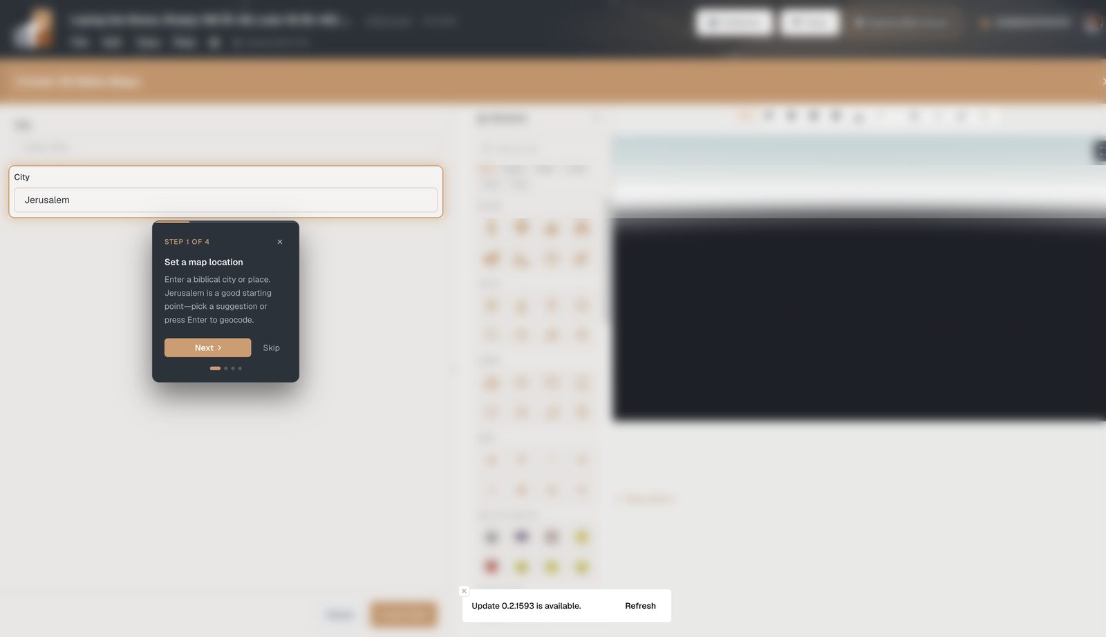
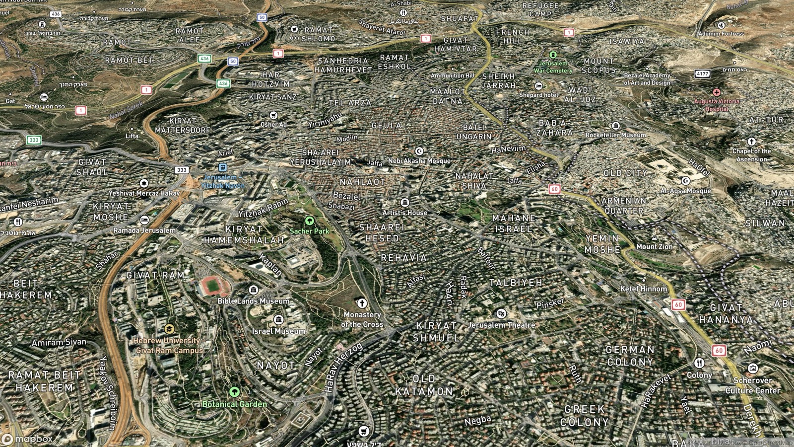
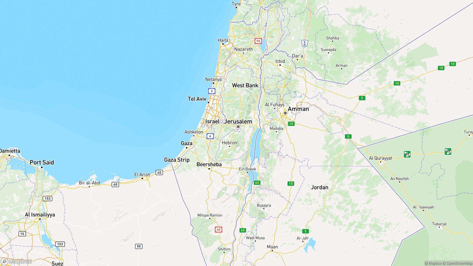
Open a default map of Israel and you see today’s cities, highways, and borders. Helpful for a vacation. Misleading for Acts, the Gospels, or Joshua.
Agitate: ancient names and modern labels fight for attention
Without controlled layers you get too modern (biblical places missing) or too sparse (no bridge to “where that is now”). Photoshop composites for one sermon don’t help next month’s passage.
The goal isn’t to hide the modern world. It’s to toggle it.
Solution: layered 3D Bible Maps
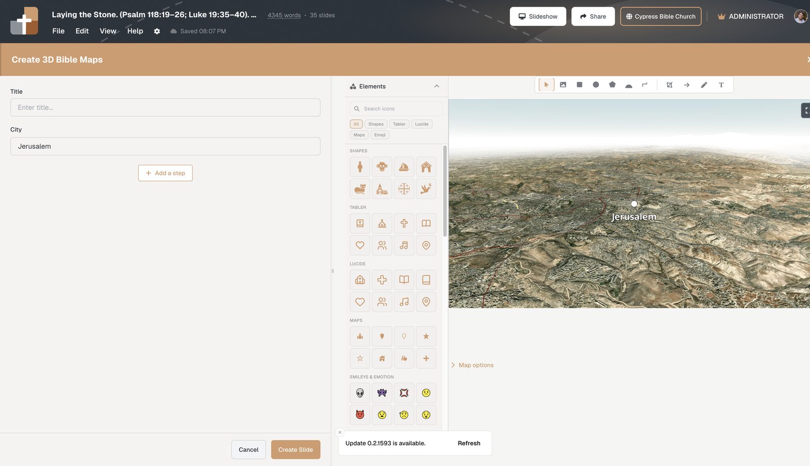
Map options toggles
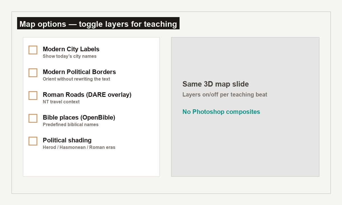
Each toggle is a teaching choice, not a permanent setting:
- Bible places (OpenBible) — Predefined biblical cities, rivers, and water
- Modern City Labels — Today’s names when orientation helps
- Modern Political Borders — Contemporary lines — then turn them off
- Roman Roads (DARE) — New Testament travel context
- Political shading — Herod, Hasmonean, or Roman eras
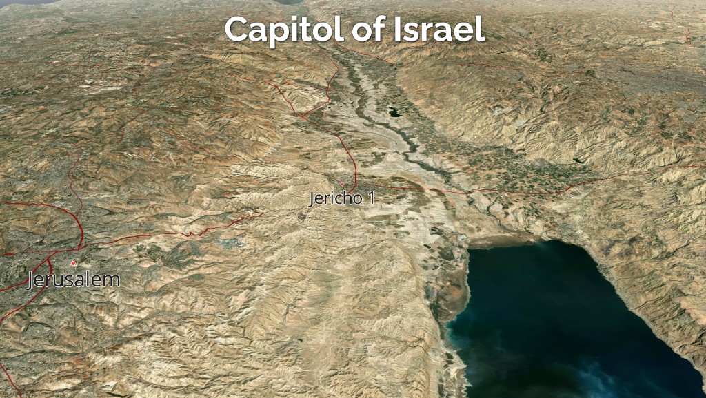
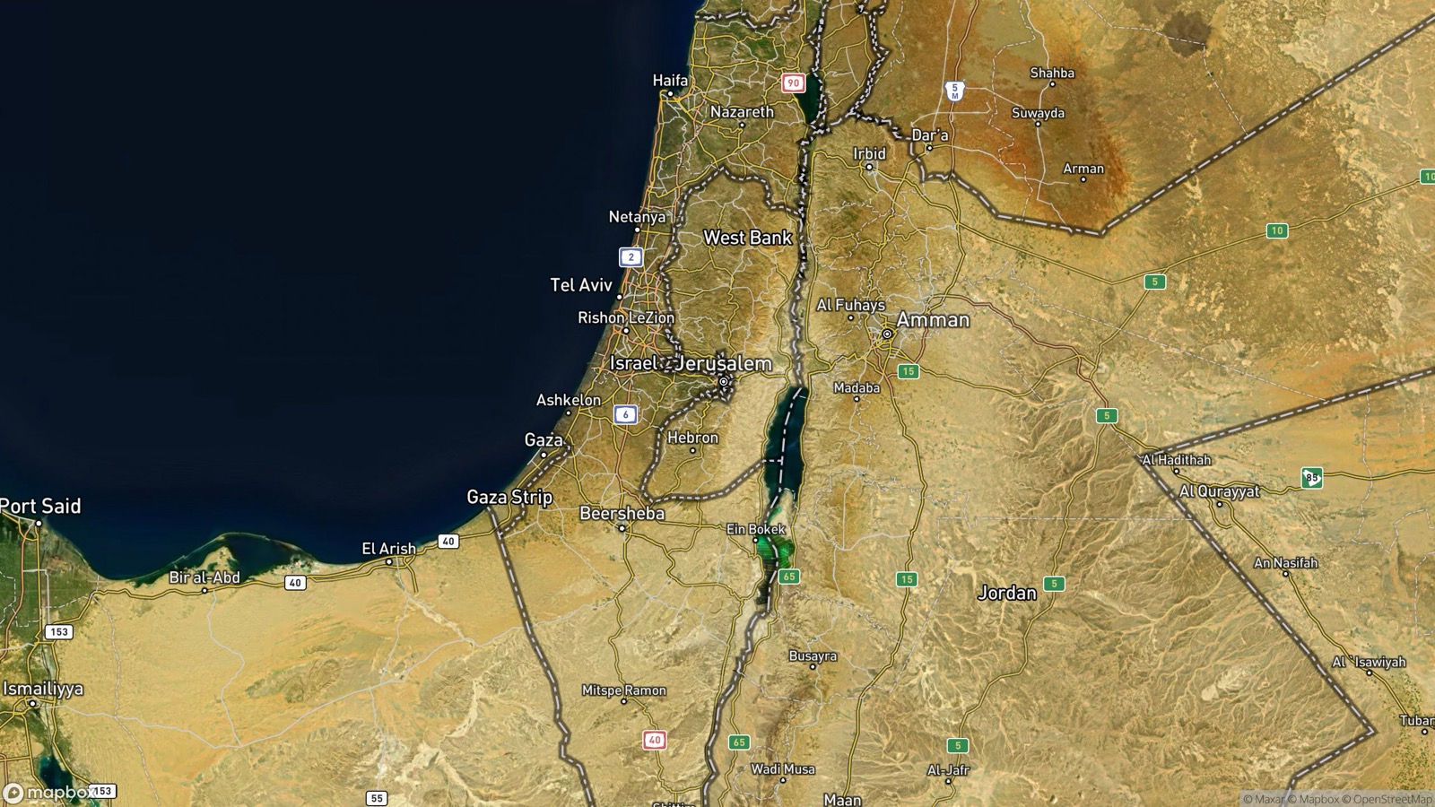
How to use overlays without overwhelming the room
- Start with Bible places + clean 3D terrain
- Add modern city labels for one orientation beat only
- Prefer one primary story per slide
Related: 3D journeys · Routes with arrows
See BibleSlides features
Notes and slides in one document, Bible Verse slides, stepped markup, Verse Analysis, 3D maps, BiblePlaces photos, and tablet presenter apps — built for pastors who teach Scripture.